Jeff's Map (Maps by Jeff) Version 6 Released!
December 04, 2023 - 07:20 AM
OMG! They're heeeere.
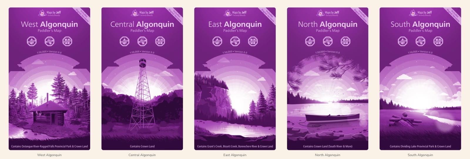
That's right. After almost 10 years a newer and even better version of Jeff's Algonquin Map is now available. Now entitled "Maps by Jeff", Jeff has released a set of 5 maps encompassing the entire Algonquin Provincial Park area, plus a few areas immediately outside The Park boundary that co-inside to canoe routes that enter/exit The Park accordingly.
I've ordered all five maps to add to my collection and I am anxiously awaiting their arrival in the mail. Until they arrive I am reviewing the digital edition of the map(s). There is so much to cover in this review. Firstly, I will start with the online experience. Read More...
Comments
Jeff is back! [Very soon]
November 25, 2023 - 08:34 AM
Well, well, well.. Looks like Christmas is coming early this year. News from Jeff himself has it that the next incarnation of his Algonquin Park maps is very close to release! With a new brand name - "Maps by Jeff", the excitement is building. The above image is a sample released by Jeff as a teaser for all those "Jeff's map"/"Unlostify" map loving fans out there. Get your credit cards out and your Christmas stockings ready. Read More...
Unlostify - Jeffrey McMurtrie is back!
April 01, 2018 - 05:20 PM
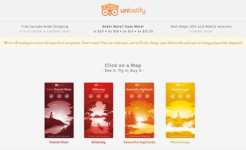
It’s no April Fools joke. Jeff is making paddling maps again! Forming a new company - “Unlostify”, with a dedicated business partner, Jeff has released a bunch of new maps online! Physical maps will be made available very soon and with many new features, some that will surprise you!
Read More...
Jeff's Algonquin Map Version#4… and MORE!
July 15, 2012 - 08:51 PM
"I can see the entire nipissing canoe route!" This was my first remark upon laying my eyes on Jeff's new map: "Canoeing and Exploring Map of Algonquin Provincial Park & The Haliburton Highlands" - Version 4.
Jeff's new map comes eighteen months after the release of version 3. It has been a long time in development and I gotta say it is worth the wait. Read More...
Algonquin Park Highway 60 Corridor Map
August 04, 2011 - 08:12 PM
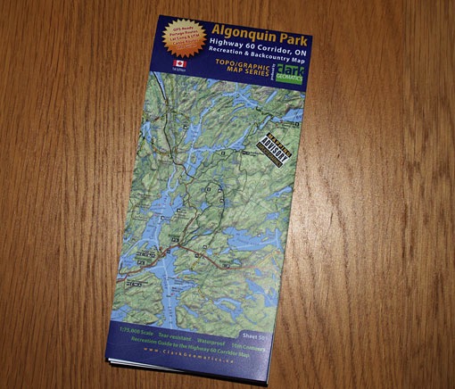
Jeff Clark of Clark Geomatics has recently released a 1:75,000 scale Algonquin Park map entitled,
"Algonquin Park - Highway 60 corridor, ON - Recreation & Backcountry Map".
With the official canoe routes map lacking any significant update for decades now, it is refreshing to see a new, highly detailed recreation map available as an alternative to the park's official source map. The Clark Geomatics map pays extra attention to the many attractions and services located along the highway#60 corridor that meanders its way through the southern section of The Park.
Read More...